Some links on this page are affiliate links: if you book through them, we may earn a commission at no extra cost to you. How this works
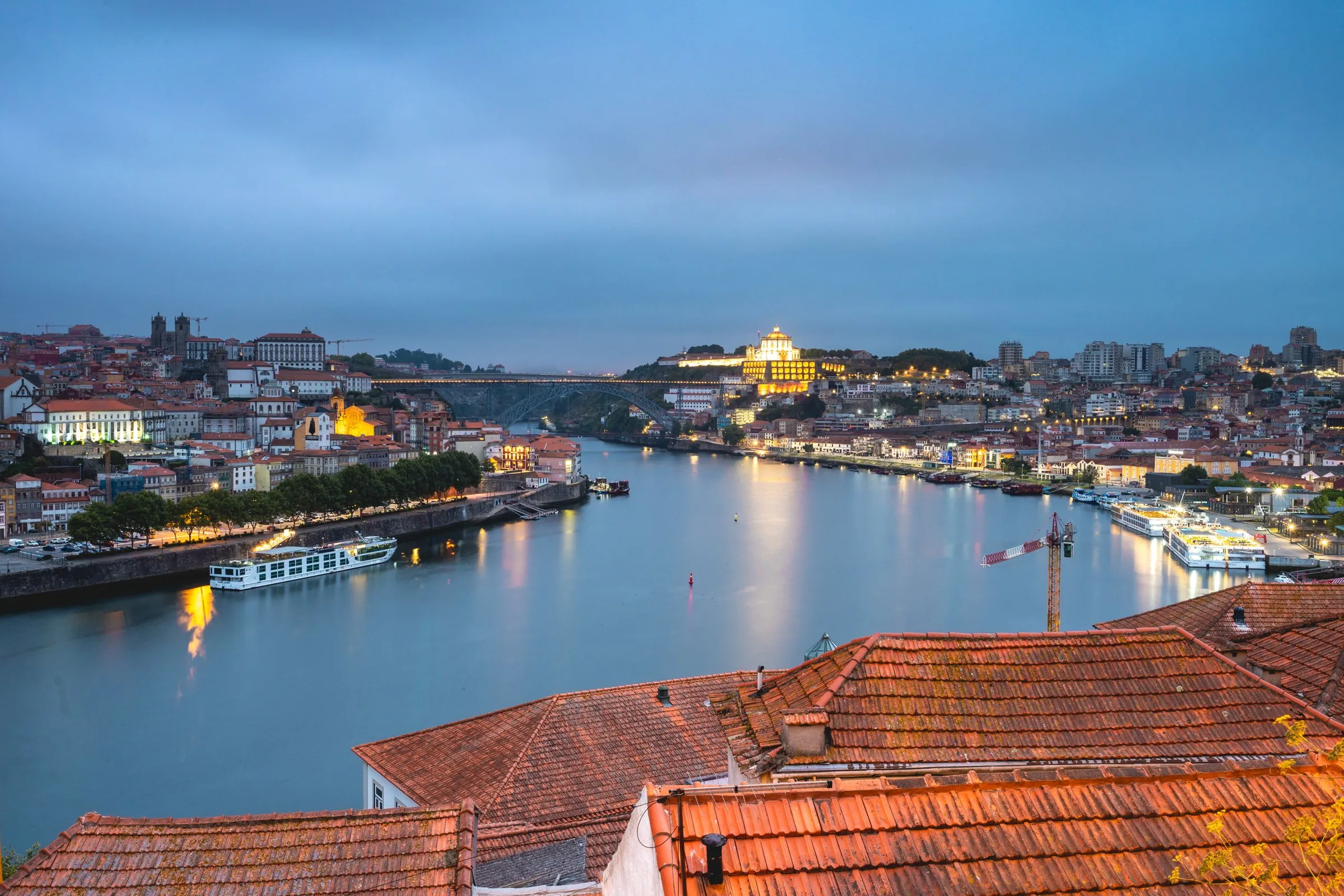
A Porto map explains more about planning a visit than any list of sights, because the city is built on a slope above a river and the distances on paper hide the climbs between them. The historic centre rises from the Douro at the Ribeira to the downtown streets around the Avenida dos Aliados, the arts quarter lies to the west, the business district and its concert hall further north-west, and the river runs out to the Atlantic at Foz. Across the water, Vila Nova de Gaia is a separate city with its own riverfront, the Port lodges and the best view back at Porto.
Most of what a first visit covers sits within about a kilometre and a half of the centre: the station hall of São Bento, the Clérigos tower, the cathedral, the Bolsa palace, the Dom Luís I Bridge and the gardens of the Palácio de Cristal. A few important places lie further out, including Serralves and the seafront at Foz, and the map shows which ones need a ride rather than a walk.
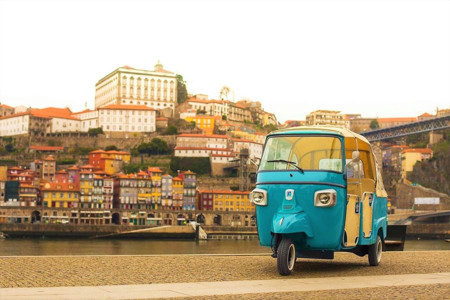
Two ways to see the centre with someone who knows the map: on foot with a boat and the cable car, or by tuk-tuk.
 Most complete
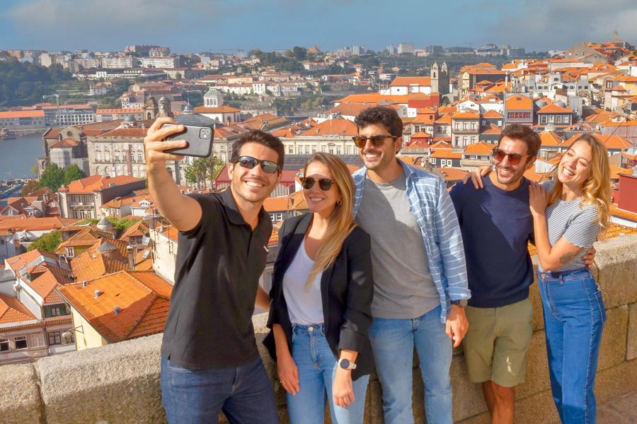
Porto: Walking Tour, Lello Bookshop, Boat and Cable Car
A first day that covers the centre, the river and Gaia
 Less walking
Where the city is, and how it is laid out
Visitors often picture Porto on the coast. Where is Porto Portugal on a map? In the north of the country, at 41.15° N and 8.61° W, on the north bank of the Douro close to where the river meets the Atlantic. It is the centre of the Porto district in the North region, and Lisbon lies 315.3 km (195.9 miles) to the south by road.
The city itself is small on paper: 41.42 km² (16 sq miles) with 231,800 residents at the 2021 census. The airport is 11 km (7 miles) to the north-west of the centre.
A Porto neighborhoods map makes more sense read from the river upwards. The Ribeira is the waterfront strip under the Dom Luís I bridge, the core of the historic centre. The Baixa is the downtown above it. Cedofeita, the arts quarter, lies west of the Baixa, and Miragaia and Massarelos follow the river bank westwards below the gardens. Boavista sits further north-west, Bonfim to the east towards Campanhã, and Foz do Douro at the far western end, where the river reaches the sea. Vila Nova de Gaia faces them all from the south bank.
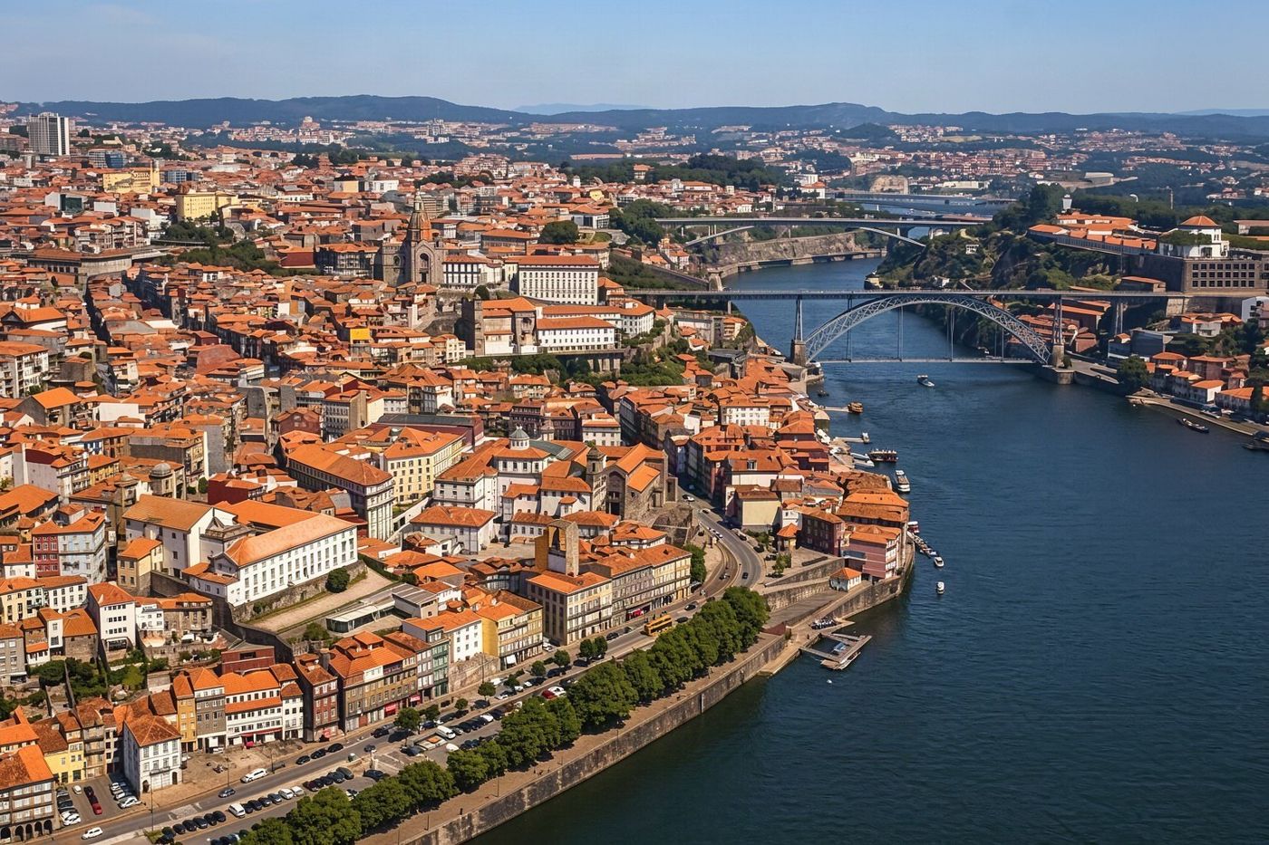 The city sits 5 km upriver from the Atlantic, not on it.
The neighbourhoods, one by one
A Porto neighborhood map is easiest to use with a sense of what each area is for.
The Ribeira is the picture everyone has of Porto: loud, steep and busy, with the Cais da Ribeira, the São Francisco church and the tram 1 terminus at Infante. The Baixa, around the Avenida dos Aliados, holds the city hall, the shopping streets, São Bento station, the Clérigos tower, Livraria Lello, the Bolhão market and the Bolsa palace.
Cedofeita is the gallery quarter. Miragaia, the old Jewish quarter, and Massarelos are quieter and greener, with the Palácio de Cristal gardens above them and the Tram Museum in Massarelos. Boavista is the business and concert district around its roundabout, with the Casa da Música and the road out to Serralves.
Bonfim, east of the centre, is residential and increasingly the Porto of small studios and restaurants. Foz do Douro has promenades, small beaches and the Felgueiras lighthouse. Gaia has the Port lodges, the Serra do Pilar monastery, the cable car from Jardim do Morro and the riverfront looking back at Porto.
A Porto tourist map PDF is handy to keep offline, but the interactive map below shows the main sights in their real positions and links each one to its own page.
 Each quarter is easiest to use with a sense of what it is for.
The listed historic centre
A map also shows the extent of what UNESCO protects. The Historic Centre of Oporto, the Dom Luís I Bridge and the Monastery of Serra do Pilar were inscribed on the World Heritage List in 1996. The listing takes in both banks: the historic centre on the Porto side and the monastery across the river in Gaia, joined by the bridge.
In practice this means that much of a first day falls inside or beside the listed area. São Bento station's hall is 0.5 km from the Avenida dos Aliados, the city's centre point, the Clérigos tower 0.5 km, the cathedral 0.8 km, the Bolsa palace 1.0 km and the bridge 1.1 km. On a flat map those are short walks; on the ground they include steep streets and stairs between the upper town and the river.
The Serra do Pilar viewpoint, 1.3 km from the centre on the Gaia side, is the classic place to see the listed area laid out in one view, and the Jardim do Morro beside it is where the cable car down to the Gaia quay starts.

Porto: Cálem Cellar Tour, Interactive Museum & Wine Tasting
★ 4.5 · 4,853 reviewsA cellar tour, interactive museum and tasting at one of the Port lodges on the Gaia bank.
From the map to the ground
Finding Porto on map apps is easy; judging how long a walk takes is not. The city's reference elevation is 104 m, well above the river, and a route that looks like a ten-minute stroll on a flat map can be a climb.
Plan the day in clusters rather than in a line. The Baixa cluster, São Bento, the Clérigos tower and the Aliados, is compact and close to the metro. The riverside cluster, the Ribeira, the Bolsa and the São Francisco church, sits below it. Crossing the bridge to Gaia adds the lodges and the viewpoints. Serralves and Foz are rides, not walks: Serralves is 4.2 km from the centre and the Passeio Alegre garden at Foz is 5.0 km.
The heritage tram line 1 follows the river from Infante to Passeio Alegre in about 20 minutes, and the metro covers the longer distances. The page on getting around Porto sets out fares and tickets.
Porto in figures
- Coordinates
- 41.15° N, 8.61° W
- Area
- 41.42 km²
- Population (2021)
- 231,800
- Region and district
- North region, Porto district
- Airport
- 11 km north-west of the centre
- Lisbon by road
- 315.3 km
The map of main sights
Fourteen of the places most visitors plan around are pinned on the map, grouped by kind: monuments and churches, museums, gardens and viewpoints. Each name opens its own page with opening hours, how to reach it and what is nearby, and pointing at a name in the list marks it on the map.
Distances are measured in a straight line from the Avenida dos Aliados, so they understate the walk on the ground. The map works like any online map: zoom in to see the streets around a pin, or zoom out to see how far Serralves and Foz sit from the rest.
The full directories go much further than these fourteen, with every museum, monument, park and viewpoint in the city on its own page, and each directory has a map of its own.
Porto's main sights
Monuments
Museums
Parks and gardens
Viewpoints
Cedofeita and the galleries
On a Cedofeita Porto map the street to find is Rua de Miguel Bombarda, the centre of the city's gallery scene. Since 2007 the galleries there have held joint openings, the Simultaneous Openings, six times a year. Rua de Cedofeita runs through the quarter, and the Palácio de Cristal gardens lie at its edge.
Cedofeita sits west of the Baixa, so it combines easily with a walk from São Bento or the Clérigos tower. From there the gardens lead down towards Massarelos and the river, and the Palácio de Cristal gardens are free to enter, open from 08:00 to 19:00 from October to March and until 21:00 from April to September.
The quarter is a good afternoon for travellers who prefer galleries, small shops and cafés to the queues of the historic centre, and it shows a side of Porto that most first-day routes pass by.
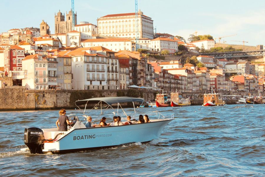
Porto: Douro River Boat Cruise with Port Wine Tasting
★ 4.9 · 1,930 reviewsA Douro river cruise with a Port tasting on board, a way to see the whole riverfront from the water.
The Baixa, where most days start
A Baixa Porto map centres on the Avenida dos Aliados, with the city hall at its top and the downtown streets on either side. It is where the Christmas lights go up and where the New Year's Eve concert is held.
The Baixa gathers several of the city's best-known sights within a short walk. São Bento station's entrance hall is covered with about 20,000 azulejo tiles by Jorge Colaço, completed in 1916. The Clérigos tower, Livraria Lello, the Bolhão market and the Bolsa palace are all part of the same area. The Bolhão market trades Monday to Friday from 08:00 to 20:00 and on Saturday from 08:00 to 18:00, and closes on Sunday.
The Baixa is also a practical base: the Ribeira and the river are a downhill walk away, and the viewpoints across the bridge in Gaia are within reach on foot.
Common questions
Where is Porto in Portugal?
In the north, on the Douro river close to the Atlantic, at 41.15° N and 8.61° W. Lisbon is 315.3 km to the south by road.
Which part of Porto is the historic centre?
The Ribeira and the streets rising from it, listed by UNESCO in 1996 together with the Dom Luís I Bridge and the Serra do Pilar monastery in Gaia.
Is Vila Nova de Gaia part of Porto?
No, it is a separate city across the river, home to the Port lodges and the Serra do Pilar viewpoint.
Which sights are too far to walk from the centre?
Serralves, 4.2 km from the centre, and the seafront at Foz, about 5 km, are better reached by transport.